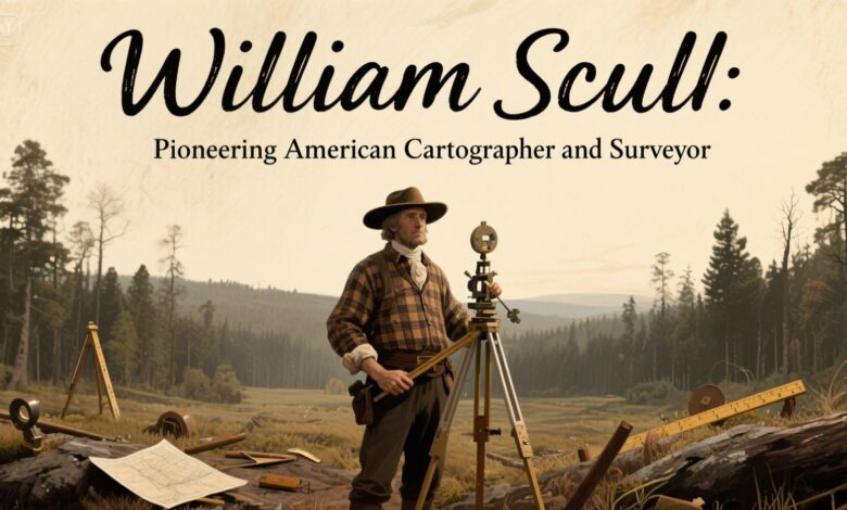
William Scull is a name that resonates in the annals of early American cartography and surveying. His contributions, especially in the 18th century, were instrumental in mapping parts of Pennsylvania and surrounding regions. Through this article, we explore the life, works, and historical significance of William Scull, painting a detailed picture of a man whose skills helped shape early American geography.
Who Was William Scull?
William Scull was an American surveyor and cartographer active during the mid to late 1700s. Born into a family with strong ties to surveying—his father, Nicholas Scull II, was also a prominent surveyor—William inherited a passion and talent for mapping. His work took place during a critical period in American history, a time when accurate maps were essential for land development, settlement, and governance.
While not as widely known as later cartographers, Scull’s legacy remains significant because he contributed extensively to the development of detailed and accurate maps representing the topography and boundaries of colonial America, primarily in Pennsylvania.
The Historical Context of Scull’s Work
The 18th century was a transformative era for America, characterized by exploration, settlement expansion, and conflicts such as the French and Indian War. Precise maps during this period were crucial for military strategy, land ownership disputes, and aiding settlers in navigating unfamiliar territories.
William Scull worked within this context, providing surveys and maps that helped Pennsylvania’s government and settlers. Pennsylvania, one of the original thirteen colonies, had rapidly changing land claims and needed clarity on its borders and internal divisions. The painstaking work of surveyors like Scull helped establish legal land boundaries and facilitated orderly settlement and development.
Major Contributions and Notable Works
One of William Scull’s most renowned achievements was the surveying and mapping of parts of Pennsylvania and its borders. Perhaps his most famous project was a detailed map of Pennsylvania, a collaborative work that was highly regarded for its accuracy and detail for its time.
Scull’s maps often featured meticulous topographical details, including rivers, mountain ranges, roads, township boundaries, and settlements. These maps were not only functional but also artistic, embodying the cartographic standards and aesthetics of the 18th century.
His work was utilized by various governmental bodies and found its way into prominent atlases and historical collections. In particular, the Pennsylvania colonial government relied heavily on Scull’s surveys to resolve land disputes and guide colonial policies.
William Scull’s Techniques and Surveying Methods
Surveying in the 18th century was a complex and often arduous task, requiring a keen eye, mathematical skill, and physical endurance. William Scull employed a variety of methods common to his time, including chain surveying, compass readings, and astronomical observations.
Chain surveying involved measuring distances using a physical chain of standardized length, which was critical for establishing land boundaries. Scull’s application of these techniques showcased his precision and dedication, producing maps that minimized errors that could lead to costly disputes.
Moreover, Scull’s familiarity with astronomical methods to determine latitude and longitude enhanced the accuracy of his maps, which was essential for connecting local features with broader geographical coordinates.
Legacy and Influence
The impact of William Scull’s work can still be traced today in historical surveys, land records, and even modern cartography within Pennsylvania and adjacent areas. His maps serve as foundational documents for historians and geographers who study colonial America’s geographic and political development.
Moreover, Scull’s dedication to detail helped pave the way for future American cartographers at a time when the nation was still in its formative stages. He helped establish standards for mapping and surveying that influenced subsequent generations.
Collectors and researchers highly prize many of Scull’s original maps, which are now featured in museums and archives such as the Library of Congress and state historical societies.
Why William Scull Matters Today
In an age dominated by GPS and digital mapping, it’s easy to overlook the painstaking efforts of early cartographers like William Scull. However, understanding Scull’s contributions offers insight into the challenges faced during America’s colonial period and the evolution of American geography.
William Scull’s maps are more than historical artifacts; they represent the intersection of science, art, and pioneering perseverance. Appreciating his work helps historians piece together the physical landscape and socio-political dynamics of early America.
Conclusion
William Scull’s name holds an important place in the history of American surveying and cartography. Through his precise and artistic maps, he contributed significantly to the understanding and development of Pennsylvania’s geography and borders. As an 18th-century surveyor, his work supported colonial governance, settlement expansion, and historical record-keeping.
For anyone interested in the history of cartography, colonial America, or land surveying, the life and work of William Scull offer a fascinating glimpse into the early American landscape and the people who helped chart it.
Curios to read an amazing article about”Does Pam Bondi Have Children? | Insights Into Her Family Life” Visit our Entertainment category.